Construction & Site Monitoring
Build Smarter, Not Harder. Keep your project on schedule and under budget with comprehensive aerial data and progress tracking.
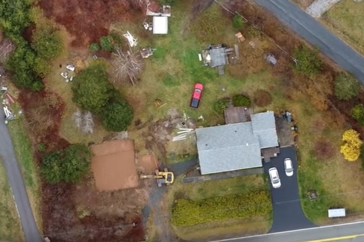
Schedule Your Site ScanFlying Blind on a Multi-Million Dollar Project?
Without accurate, real-time site data, you're exposed to costly delays, budget overruns, and disputes that can derail your project.
Costly Rework
Discovering too late that things are not as they should be can lead to thousands in unplanned rework and delays.
Poor Communication
Stakeholders, investors, and subcontractors often struggle to visualize progress from ground-level photos and complex blueprints.
Unseen Safety Hazards
It's impossible to see everything from the ground. Unidentified hazards can lead to accidents and costly work stoppages.
Your Project, From Every Critical Angle
Ultramax provides a complete aerial record of your project from groundbreaking to completion. We empower you to make proactive decisions, improve communication, and verify work with undeniable visual evidence.
- Track Progress Visually: Overlay site plans on up-to-date aerial maps to track progress against your schedule.
- Verify Earthwork & Quantities: Perform accurate cut/fill analysis and verify material quantities without disrupting site work.
- Enhance Stakeholder Reporting: Provide clear, compelling visual updates to clients, investors, and internal teams that everyone can understand.
Your Construction Intelligence Package
We deliver a suite of powerful data tools to give you complete oversight of your job site.
High-Res Orthomaps
Weekly or bi-weekly top-down maps of your site to serve as an indisputable visual record of progress.
Cut/Fill Analysis
Verifiable reports on earthwork progress, ensuring you're moving the right amount of material.
Progress Photos & Video
High-quality imagery from key angles for marketing, stakeholder updates, and internal documentation.
CAD & GIS Exports
Digital surface models and point clouds that integrate directly into your existing design software.
Essential for Every Phase of Construction
Put Ultramax to Work on Your Next Project
Let's discuss how a recurring aerial monitoring plan can save you time, money, and headaches. Contact us for a free quote based on your project's size and scope.
(902) 350-3010
ultramaxdrones@pm.me
Proudly serving rural Nova Scotia